
37.5 mi / 8.4 mph / 1462 ft. climbing
Home: Stonehenge Campsites and Glamping
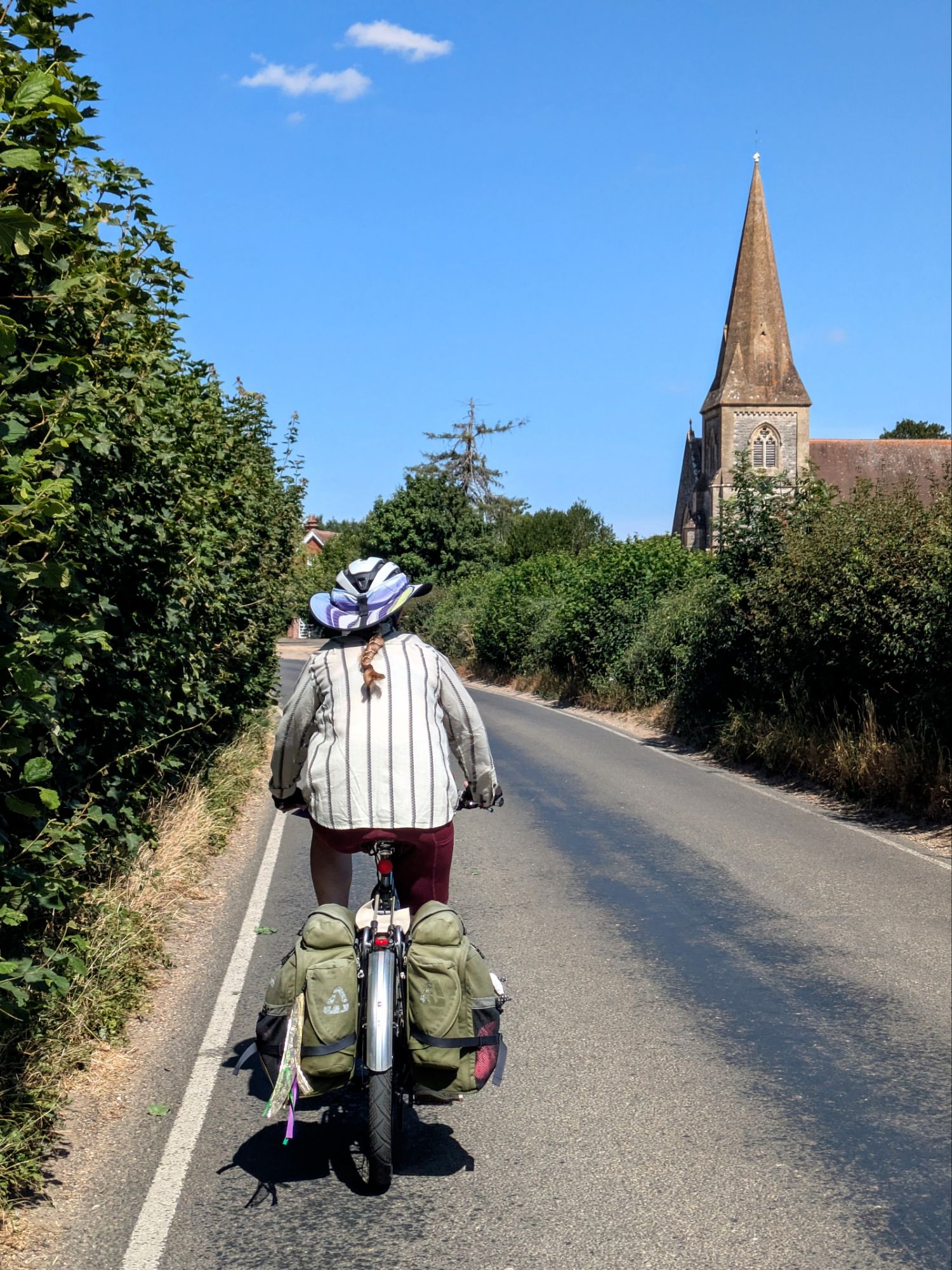
It’s time to begin learning what cycling the UK is like. It can be a lengthy process in a new country, requiring exposure to different roads, cyclepaths, and traffic types, observing the behavior of other cyclists and drivers to learn what is culturally acceptable, all while regaining comfort with cycling on the “wrong” side of the road.
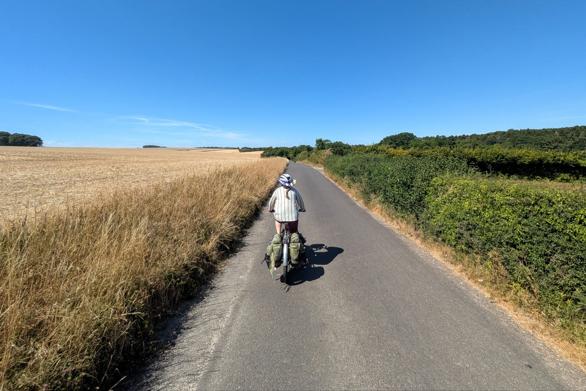
Our exit from Southampton exposed us to many different physical elements (narrow lanes, city streets, sidewalk-like cyclepaths, roundabouts), though not a ton of culture-observation of other road users. Overall it felt like we didn’t face any major obstacles to escaping a city of 250,000, and we reached quiet rural roads surprisingly quickly.
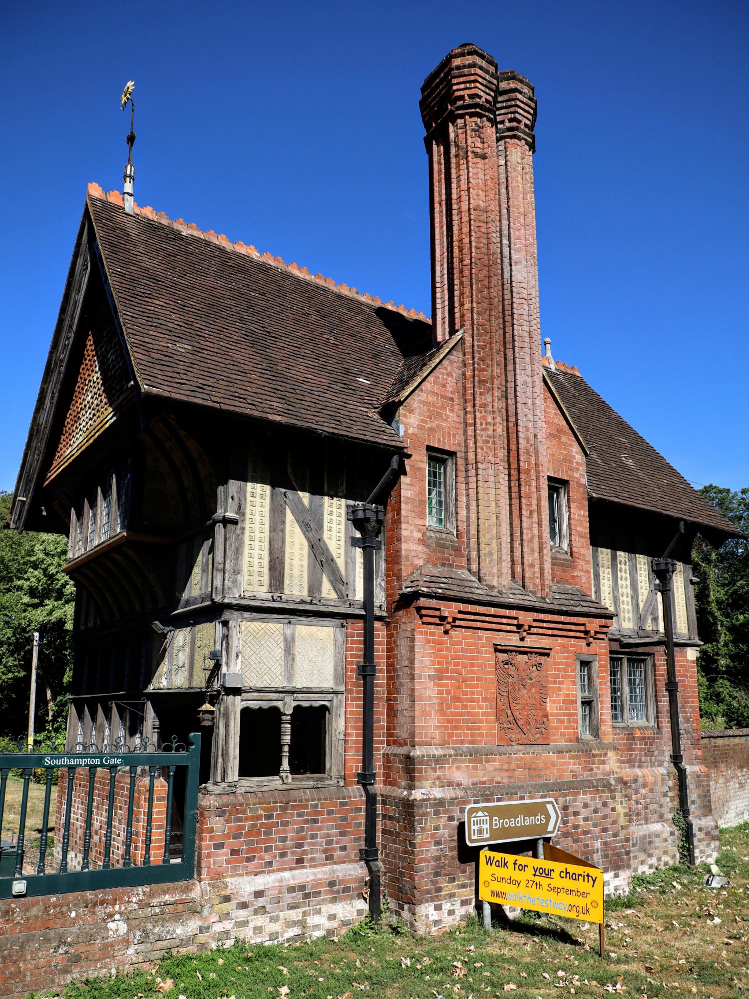
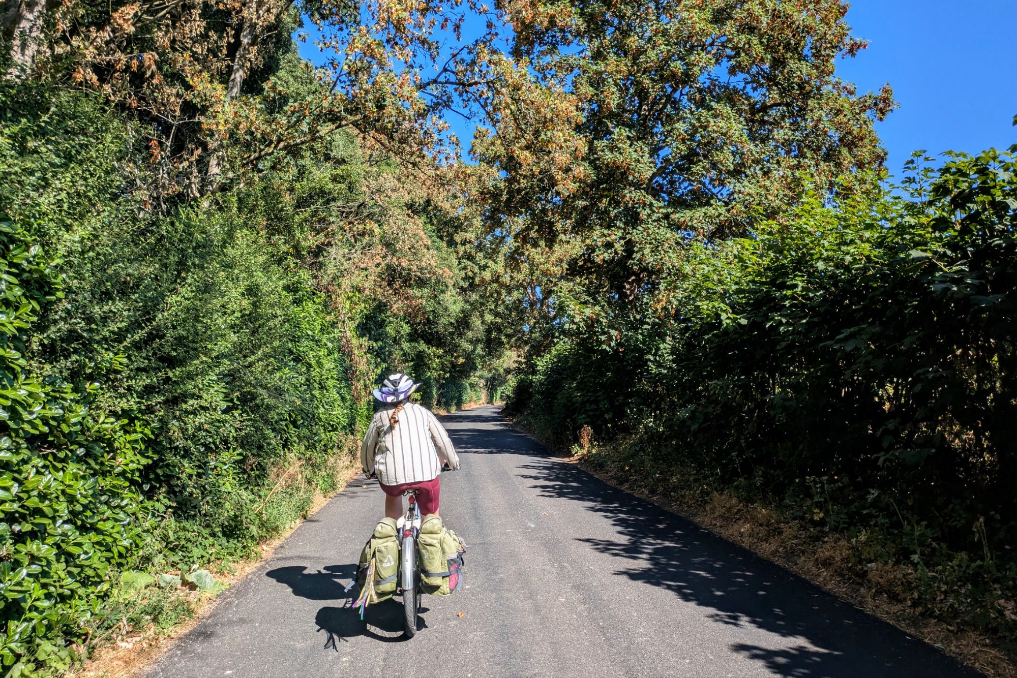
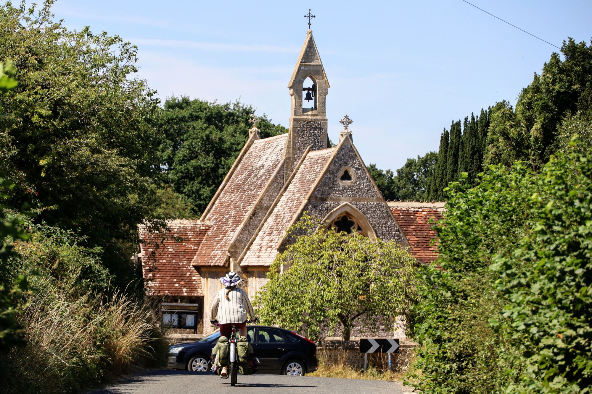
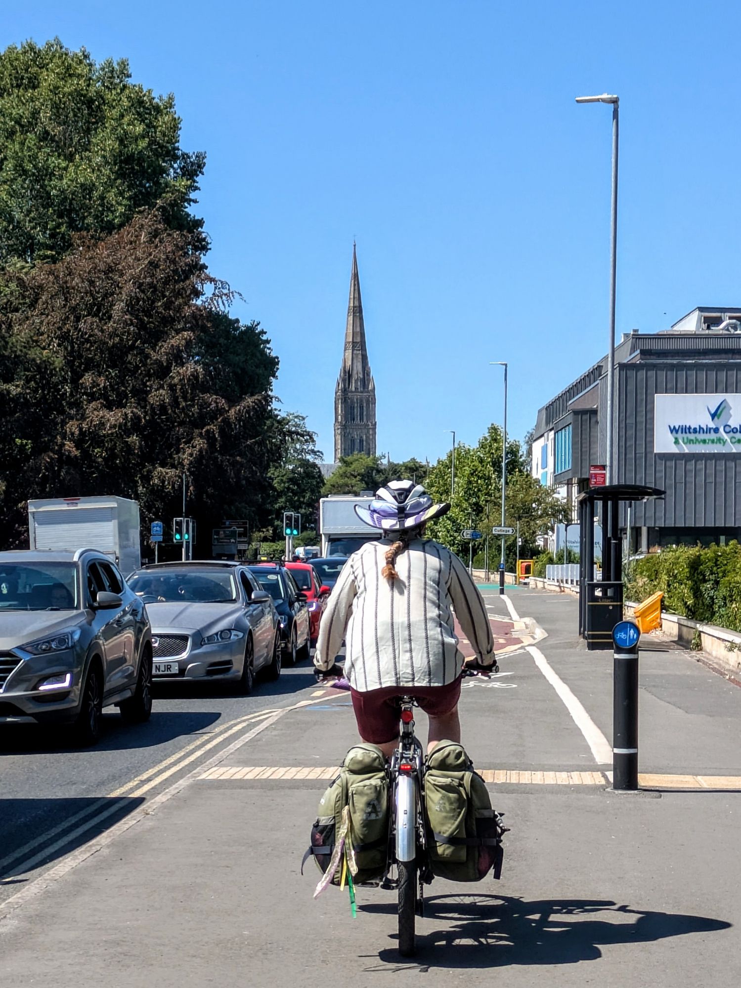
Our entry into Salisbury was more-challenging than our exit from Southampton. Heavy traffic meant that the only reasonable option for us was to be on the sidewalk/maybe-bike-path, but it was so narrow that we had to walk our fat bikes along it for a significant distance. Then there were the usual confusions of where to switch between road and path, and the difficulties of making those transitions (having to cross to the opposite side of the road in an awkward place, walking through a multitude of paths and crosswalks to navigate a single roundabout).
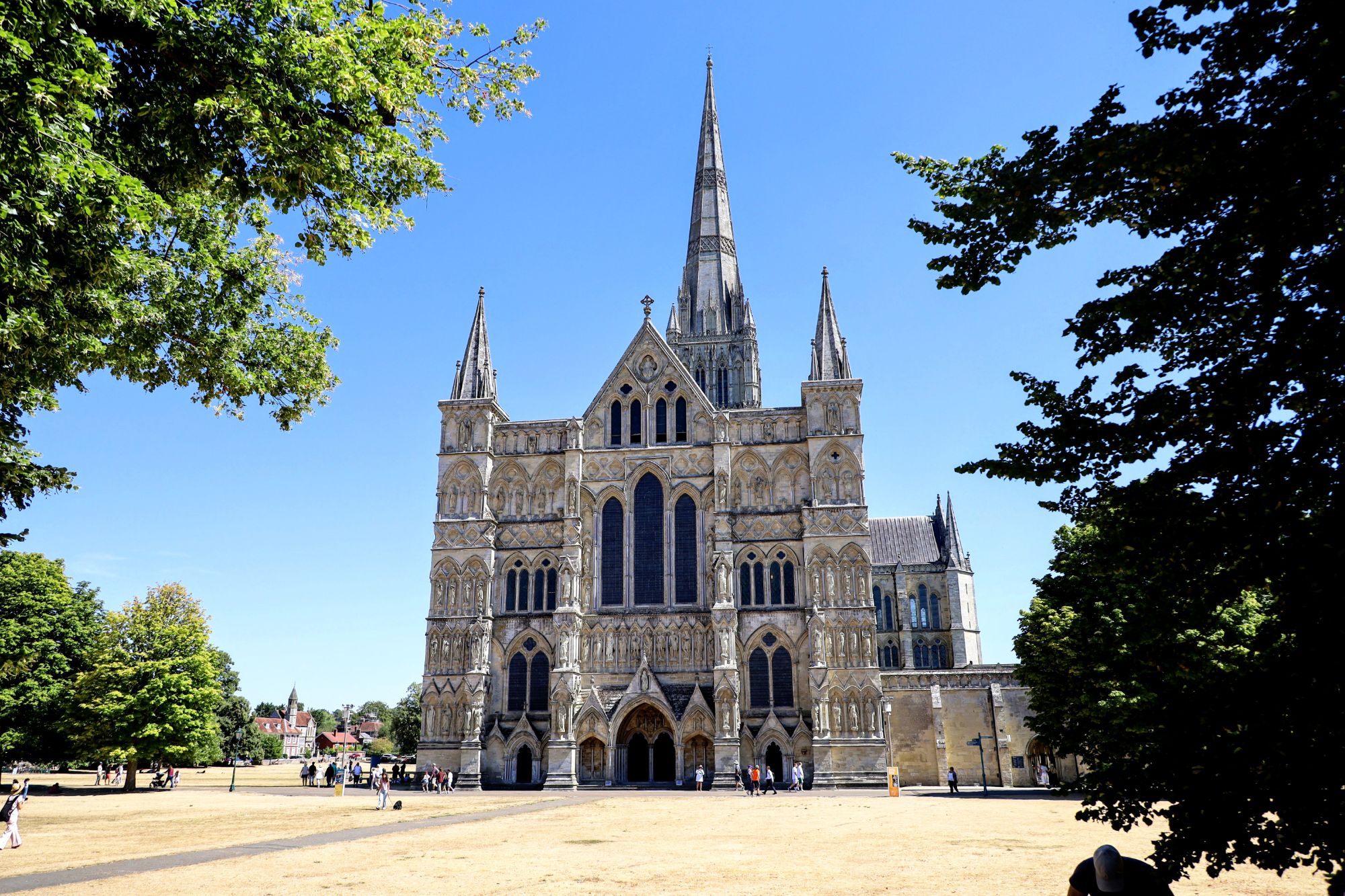
It all took long enough that our only option upon arriving to town was going straight to lunch, and by the time we were done, there was just no time left in our day to visit the Salisbury Cathedral. At least we were able to stop for a brief view of the outside, and since the 404-foot spire makes it the tallest extant church in England, the outside view is likely the most-impressive.
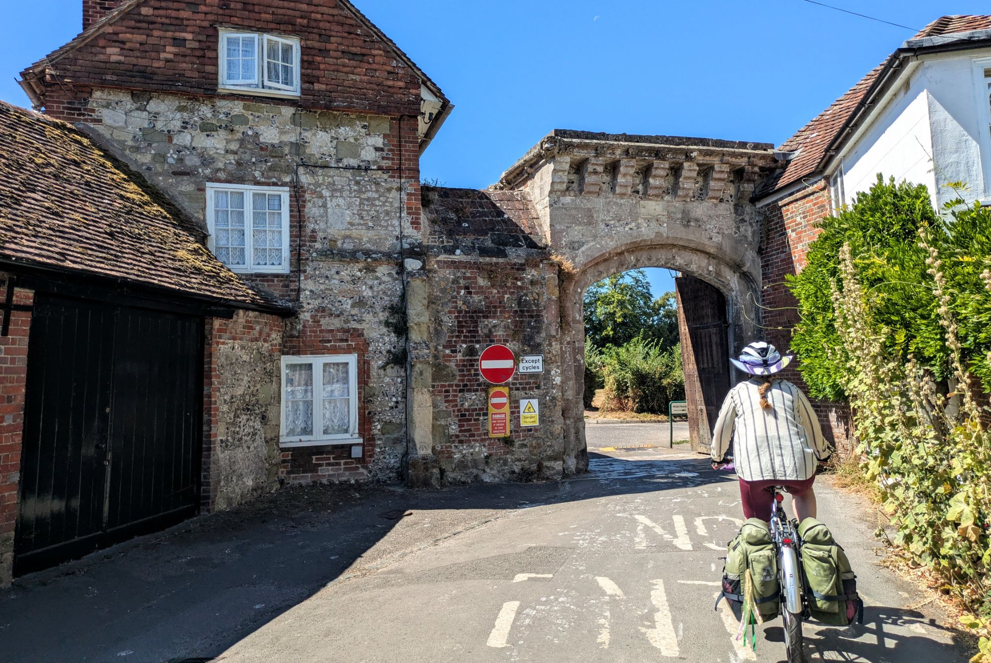
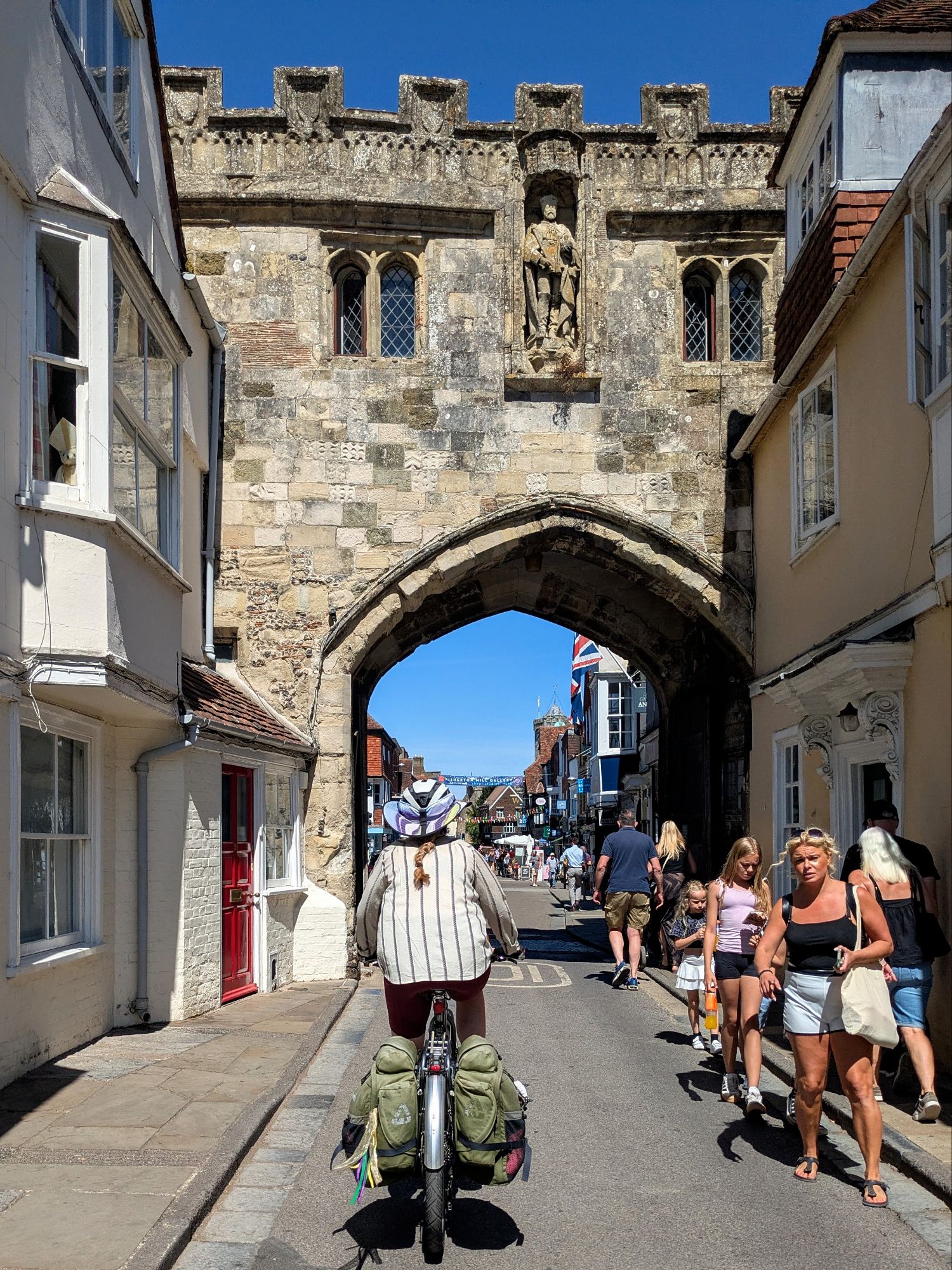
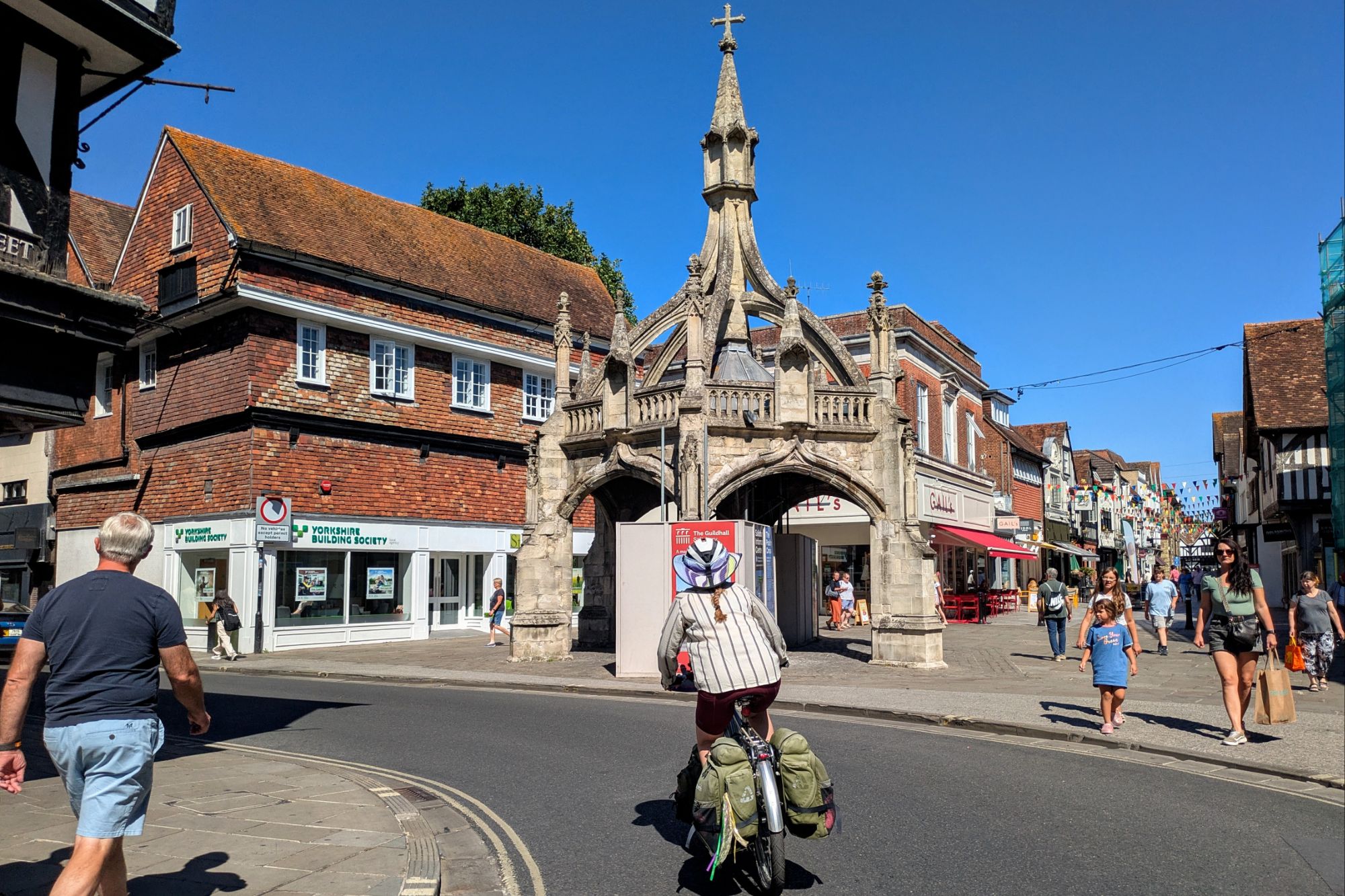
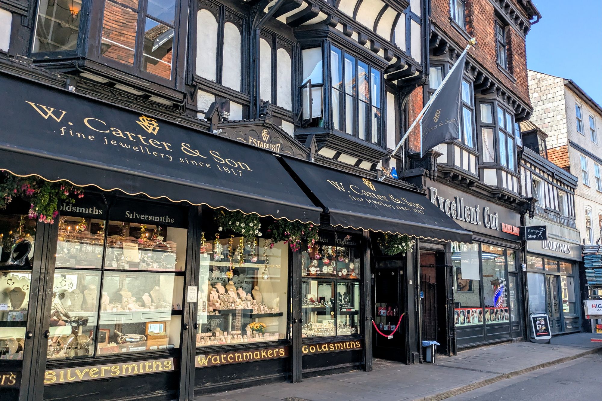
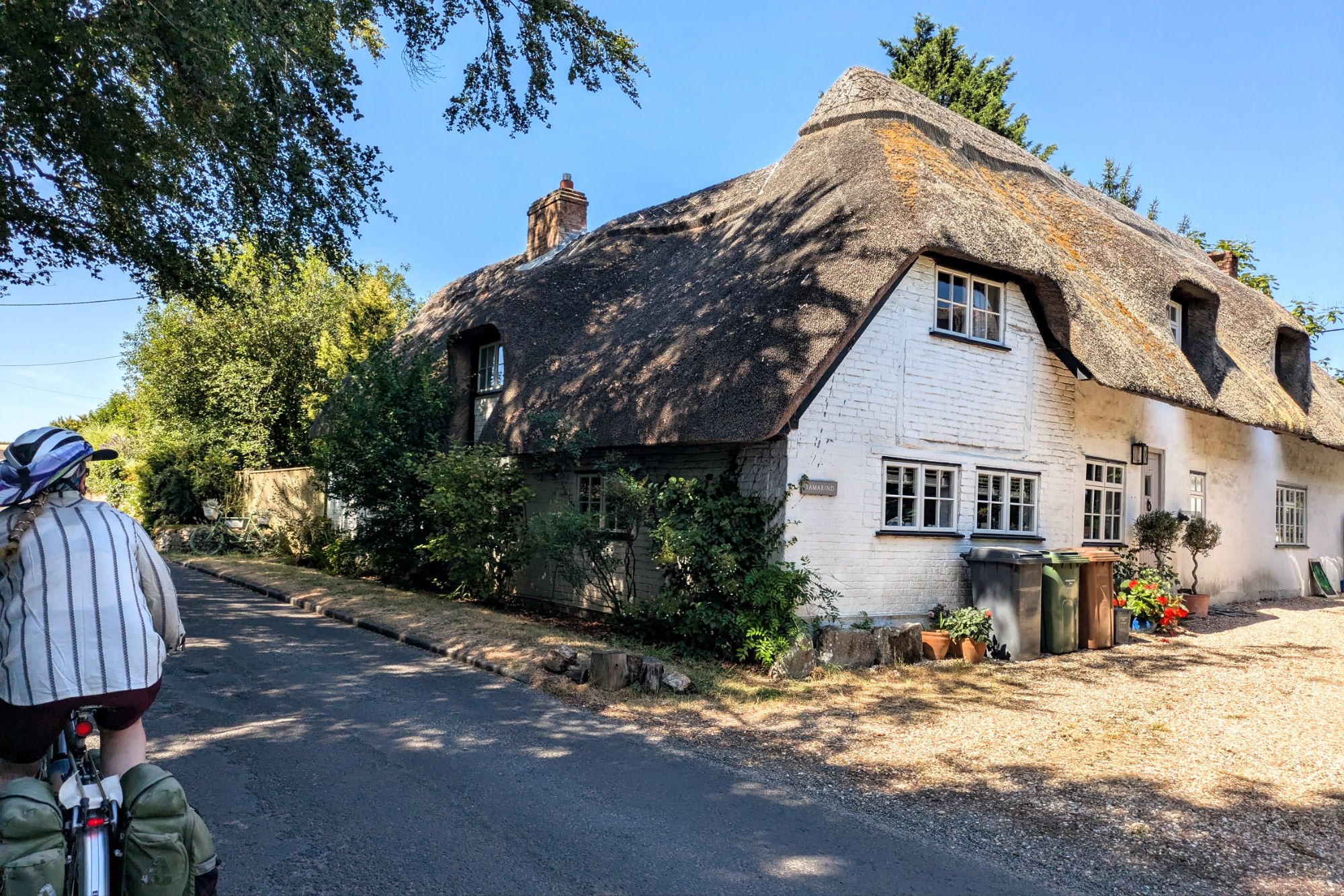
We stopped for lunch at a traditional pub, in another building so old that several of the overhead beams had cushioned bumpers attached to them, lest 21st-century customers be constantly bloodying their foreheads. When we crossed over the Crown Range in New Zealand on our way into Queenstown, we stopped at the historic Cardrona Hotel, and it was very much what I’d imagined a British pub to be like, evocative to Americans and Kiwis alike. But the hype applied to it (“one of the most photographed buildings in New Zealand”) must be confusing to Brits, because basically every little village in this country appears to have a pub that was built significantly before the Cardrona’s completely unremarkable 1863 opening.
On the way north out of Salisbury, we hopped on the Avon River bike path for a tiny stretch, just to take us to a big grocery store (where a lot of utility cyclists were using the trail for the same purpose). I went out to the gas station in the parking lot to fill our stove’s fuel bottle, slightly nervous because it appeared that UK gas stations are self-serve, but rarely pay-at-the-pump (we’d already passed by several looking for one that would be completely self-serve). But, the pump operated immediately, and when I went inside the friendly attendant clearly had no problem with me filling our strange little bottle with US$1.35 of unleaded (the most unusual thing was that it price was double the ~US$0.70 that has been relatively constant through the years/countries for filling our 22oz bottle).
Four miles out of Salisbury, we were due to make a left turn off our relatively-quiet road onto an even quieter road. But suddenly there was a big traffic jam at the T-intersection, with cars backing out of the road we were meant to take. Crap, was our route blocked? I already knew there weren’t any good alternatives. Luckily, there was a guy there taking on the temporary role of traffic cop (I think he was just a passenger in one of the cars trying to back out), and he reported that the cars are all just chock-a-block up the road, a case where a narrow section allows space for only one car to pass at a time, and an unexpected amount of traffic rushed up behind two cars playing chicken, preventing either one from backing down (we’d seen similar clogs happen in South America). Surprisingly, after a couple minutes, enough cars were able to back out and go another direction, allowing the clog to flush out much faster than I expected given the initial chaos.
So we headed up the hill, but for some reason the traffic that was thick enough to cause the initial clog continued to flow at a higher volume than the random farm road was really intended to handle, stressing us out with cars on our ass and close passes (in their defense, that’s the only way to pass on a road 1.5 car-widths wide!) So then when we reached the day’s one unavoidable section of “A road” (British roads are classified “A/B/C”, with A being the busiest), it was difficult to even catch a break in the traffic to turn onto it. I had known it wouldn’t be a fun 1.2 miles, but I’d checked the traffic counts, and ~7000 vehicles per day sounded survivable, even with no shoulders. The first half of that 1.2 miles were downhill, so the drivers expecting to go 50-60mph weren’t too bothered to be going only 20mph (and a few could even find a gap in the oncoming line to pass us), but when we hit the uphill, we became a clog almost as bad as the one that had caused a full blockage on the B-road. That means a huge line of cars (and trucks) collected behind us, stuck for at least 5 minutes as we toiled up the climb. There was no way for us to pull off, so all we could do is keep pushing as hard as we could, imagining the rage building behind us.
Once we heaved ourselves onto our turnoff, one of the drivers in the line shouted something angry at us, but really, the train showed remarkable patience as a whole. In the US, we would have had honking, many more aggressive attempts at unsafe passing, and a decent chance of something (hopefully not a bullet) thrown at us. The question was, why the hell were these roads out here in the middle of nowhere so overwhelmed with traffic? My best guess is that it was Stonehenge tourists, and maybe the main road was blocked (or also just backed up), and this was Google Maps re-routing everyone onto these should-be-emptier roads (and under that theory, the angriest drivers could have been Americans anyway!)
Our final section (which I’d StreetViewed) was the opposite, with zero cars. At one point it felt like we were riding onto someone’s farm, and then the road turned to gravel on a steep downhill, and finally we hit something I wasn’t expecting, a sign that said “Private Way”. Well, nothing to do but pretend we didn’t see that and roll on through. A guy walking out from a building smiled and gave us no mind, and soon we were back to the genuinely-public road, and a couple minutes later to our campground.
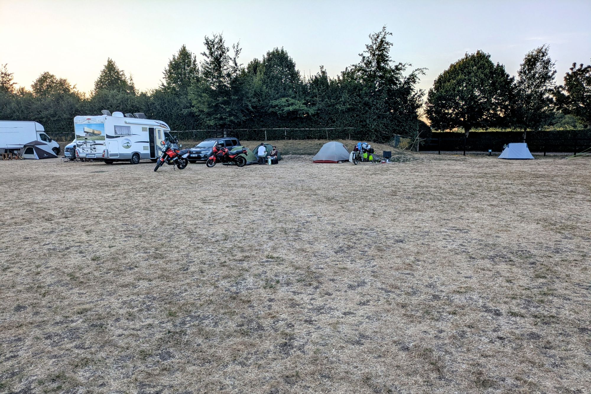
Which, like everything else was quite full. Although we had made a reservation, and there were some numbered posts at the edges of the big camping field, there were no real delineations between “pitches”, and the host explicitly told us to ignore the numbers. The grass was all dead from the drought, there were no picnic tables, and although there was a “camp kitchen”, it certainly wasn’t a New Zealand-level amenity. Not a lot for ~US$43. At least we had a spot where the treeline gave us some shade after a bit, and the little office had cold drinks (and took credit cards; we haven’t gotten cash yet). So we heated up some dinner, and soon collapsed into the tent, ready for an obscenely-early alarm tomorrow.
Leave a Reply