
38.1 mi / 10.2 mph / 883 ft. climbing
Home: Francis’s AirBNB
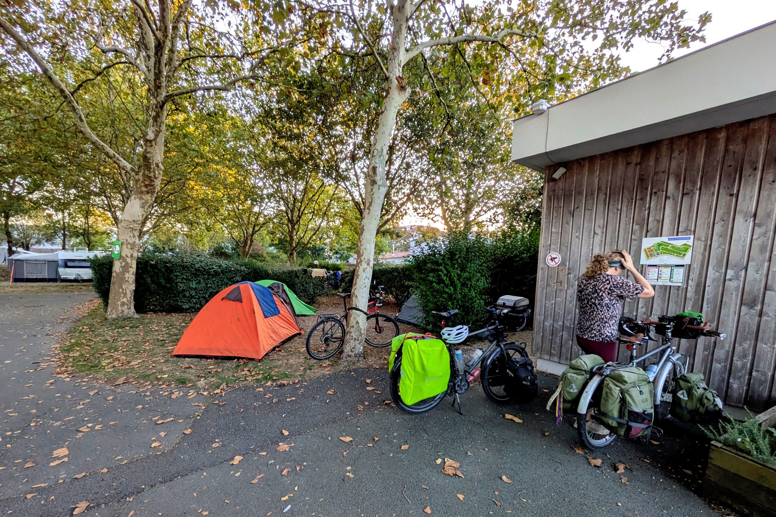
We silenced the alarm in our tent at 6:30:02am. It was so far before sunrise that my eyes were immediately drawn to the bright dot of a planet (Jupiter, apparently) on a collision course with the crescent moon. Despite the darkness, there were actually a decent number of people up and about, many more than we’re used to in a pre-dawn campground, but maybe that’s normal for the post-8am sunrises of October in France.
It was only last night when I looked at the route I’d plotted for today and realized that the bridge we were taking over the Charente River wasn’t actually a bridge. A ferry? No, it’s sort of a combination of the two, apparently known as a “transporter bridge“, where the “bridge” is 160 feet above the river, and the “ferry” (a big platform that is pulled back and forth across the span) is hanging from that high “bridge” down near the water level.
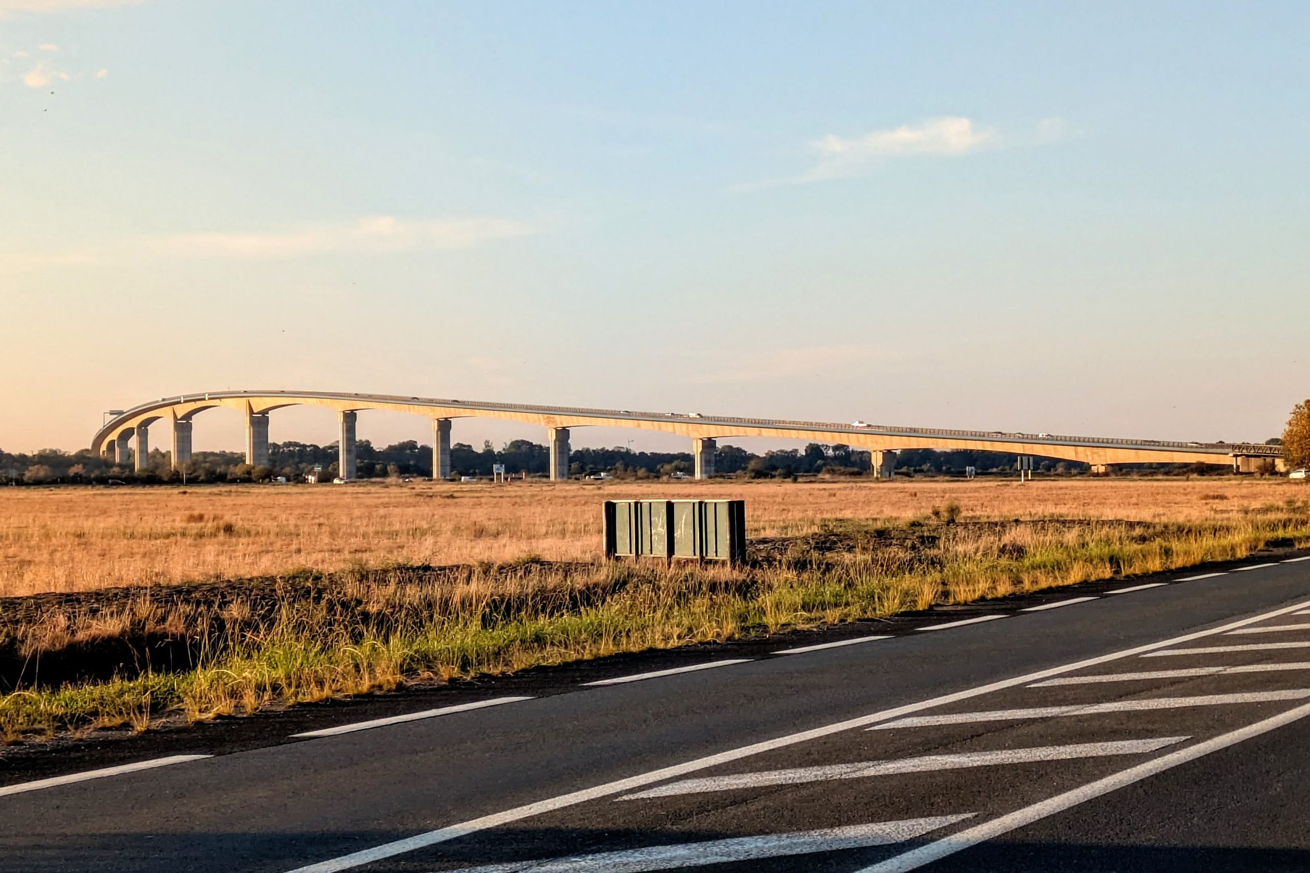
To dumb-luck ourselves into a reason to utilize this 18th-century steampunk-y contraption, one of only 6 operating in the world, was very exciting, so I spent the next half hour trying to figure out the timing. But in the end, our requirement to catch a real ferry later in the day meant that it would have been too much of a risk, since it only begins operating at 10am. Instead, I had to reroute us onto the modern vehicle bridge, which not only added half a mile our route, but worse, forced us to climb the 140 feet up and down the bridge (the whole point of the transporter bridge is to allow big boats to move upriver without being blocked, so the downriver modern bridge needs to be a similar height).
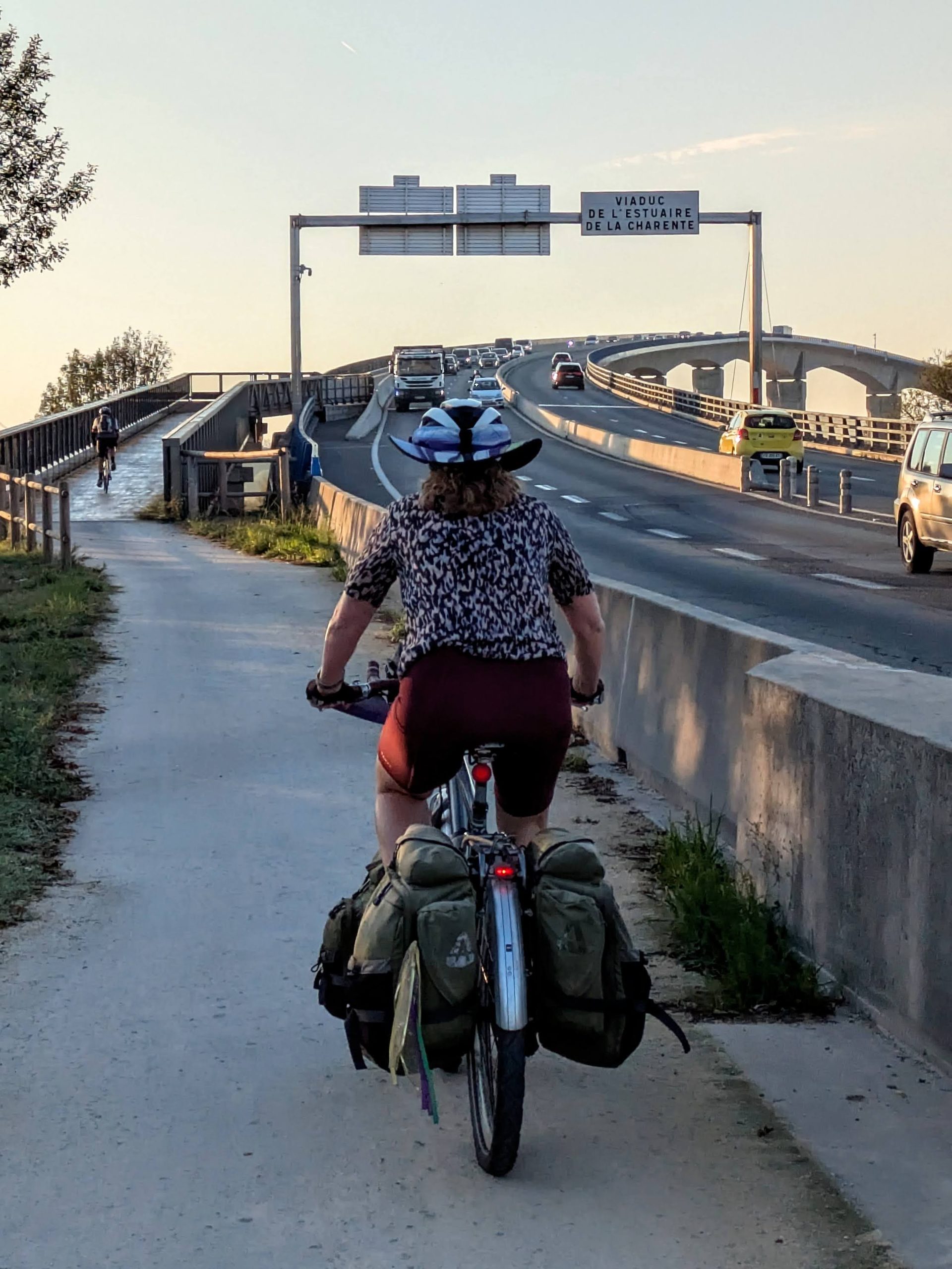
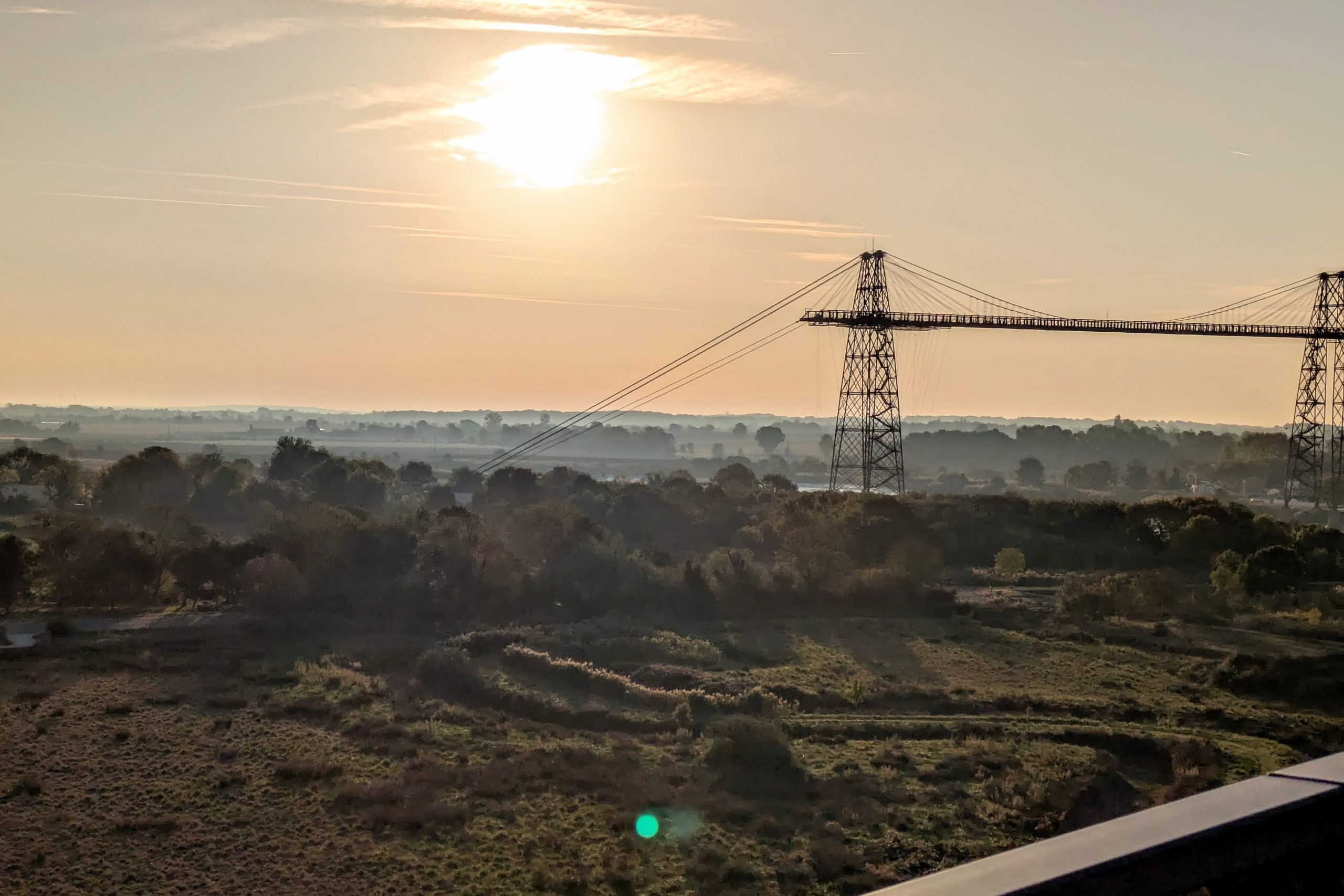
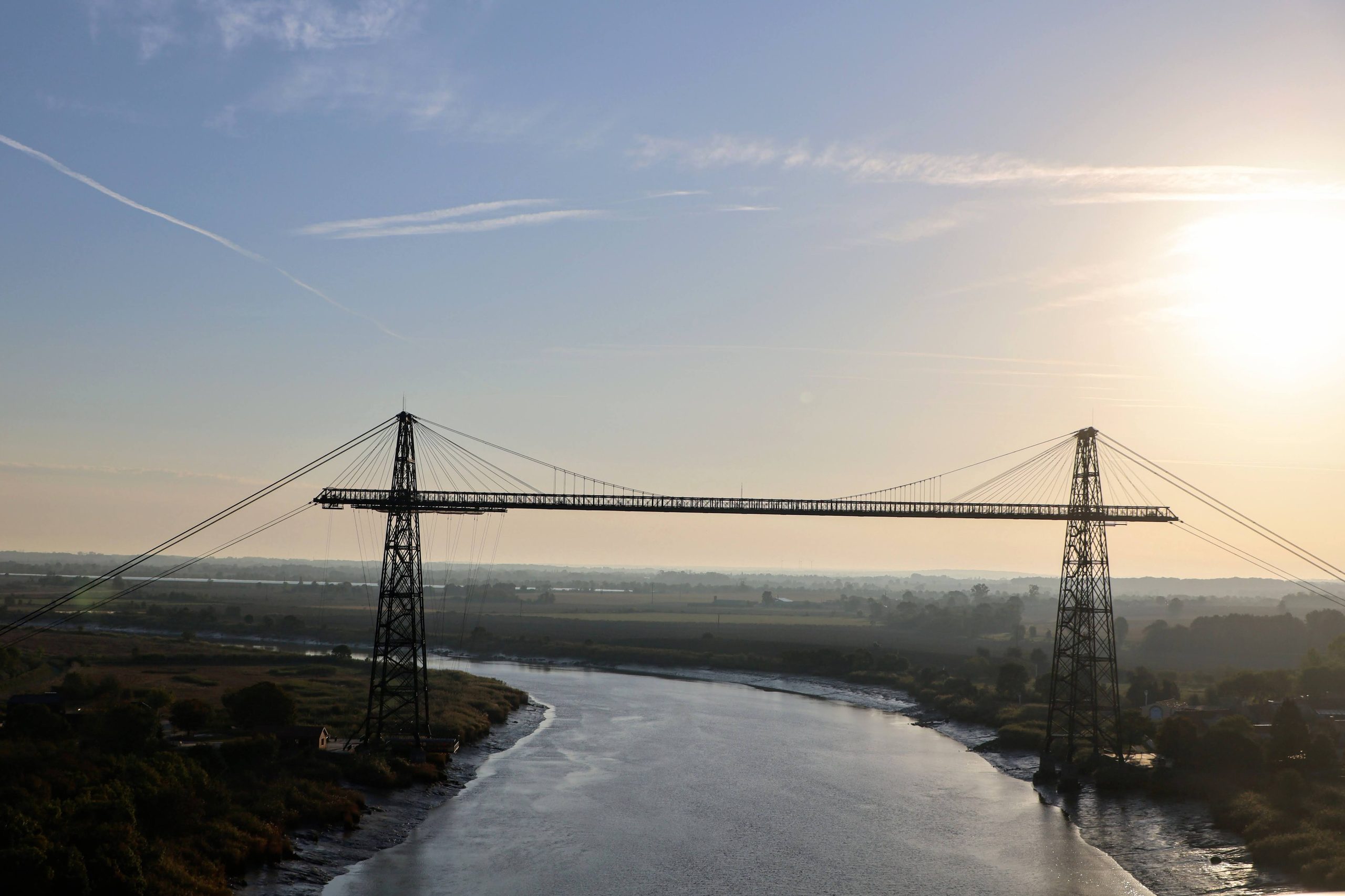
We rejoined the original route on the far side of the river at 9am, well over an hour before we would have gotten there via the transporter bridge, so at least the detour (and missing the experience) came with a benefit. And that benefit was even more necessary because last night’s route analysis also revealed that a long stretch was on a shoulderless road where StreetView showed far more traffic than I would have guessed from the cycling heat map. So I’d put us on another route that swung us further eastward onto genuinely quiet roads, which added another 5 miles to our day.
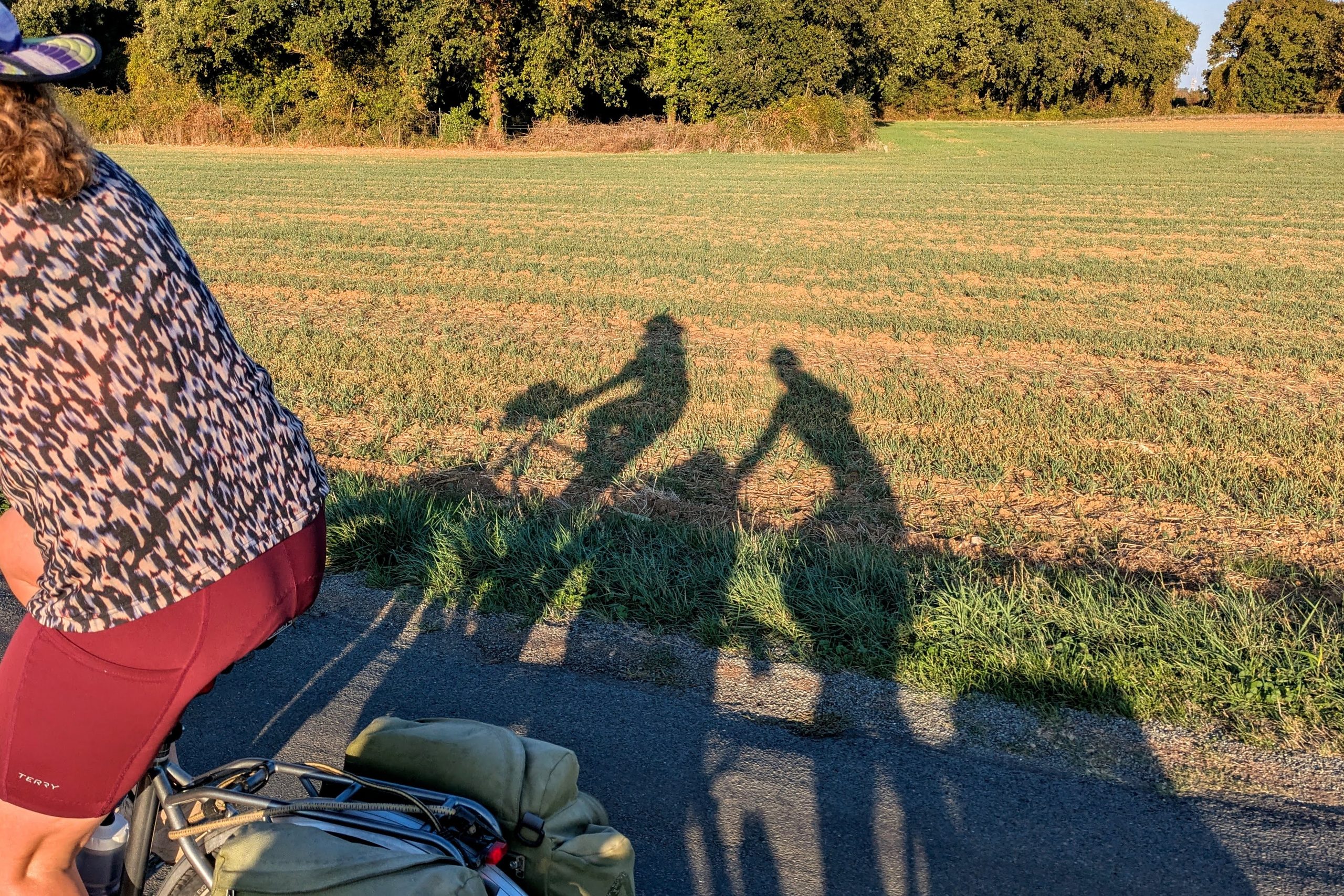
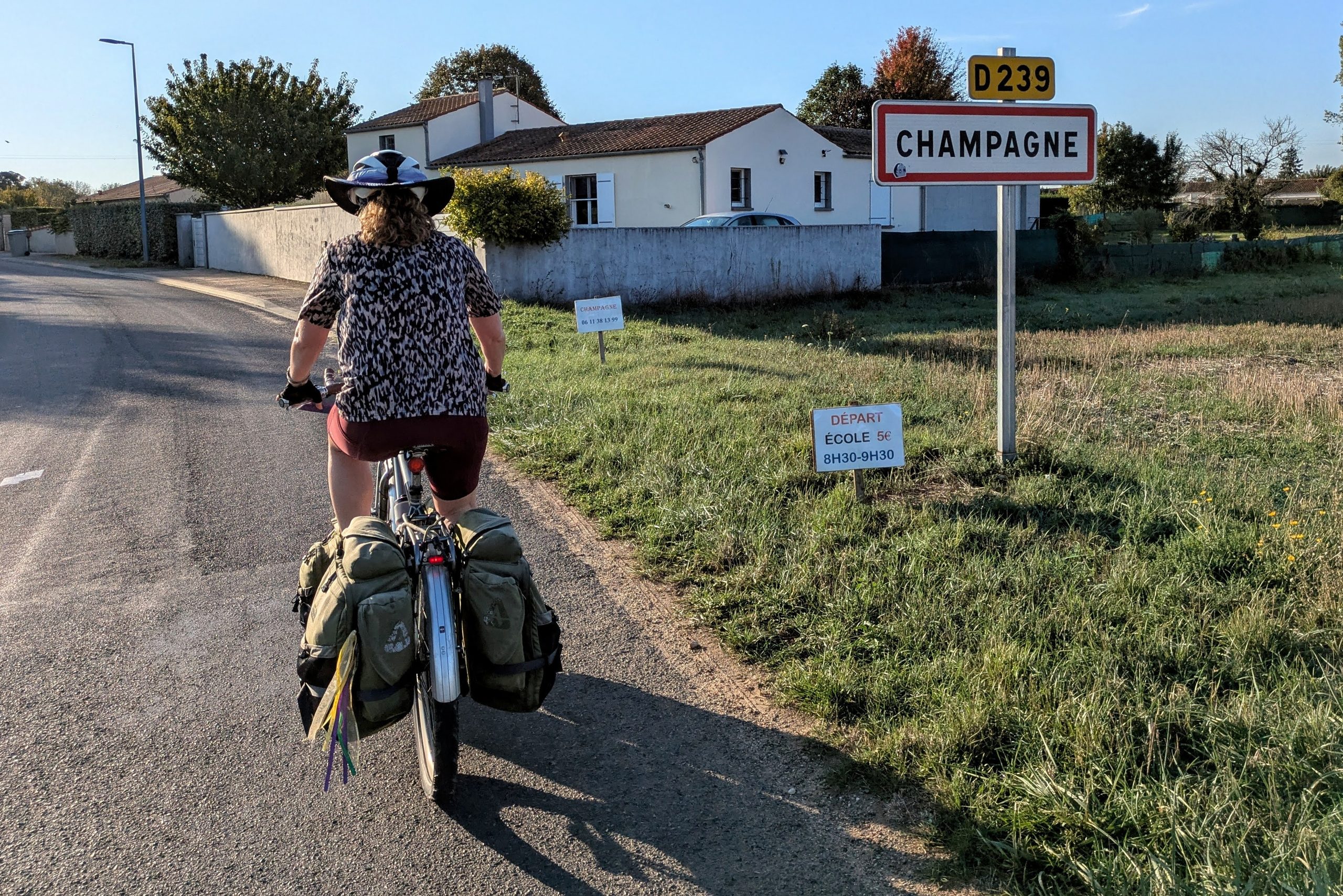
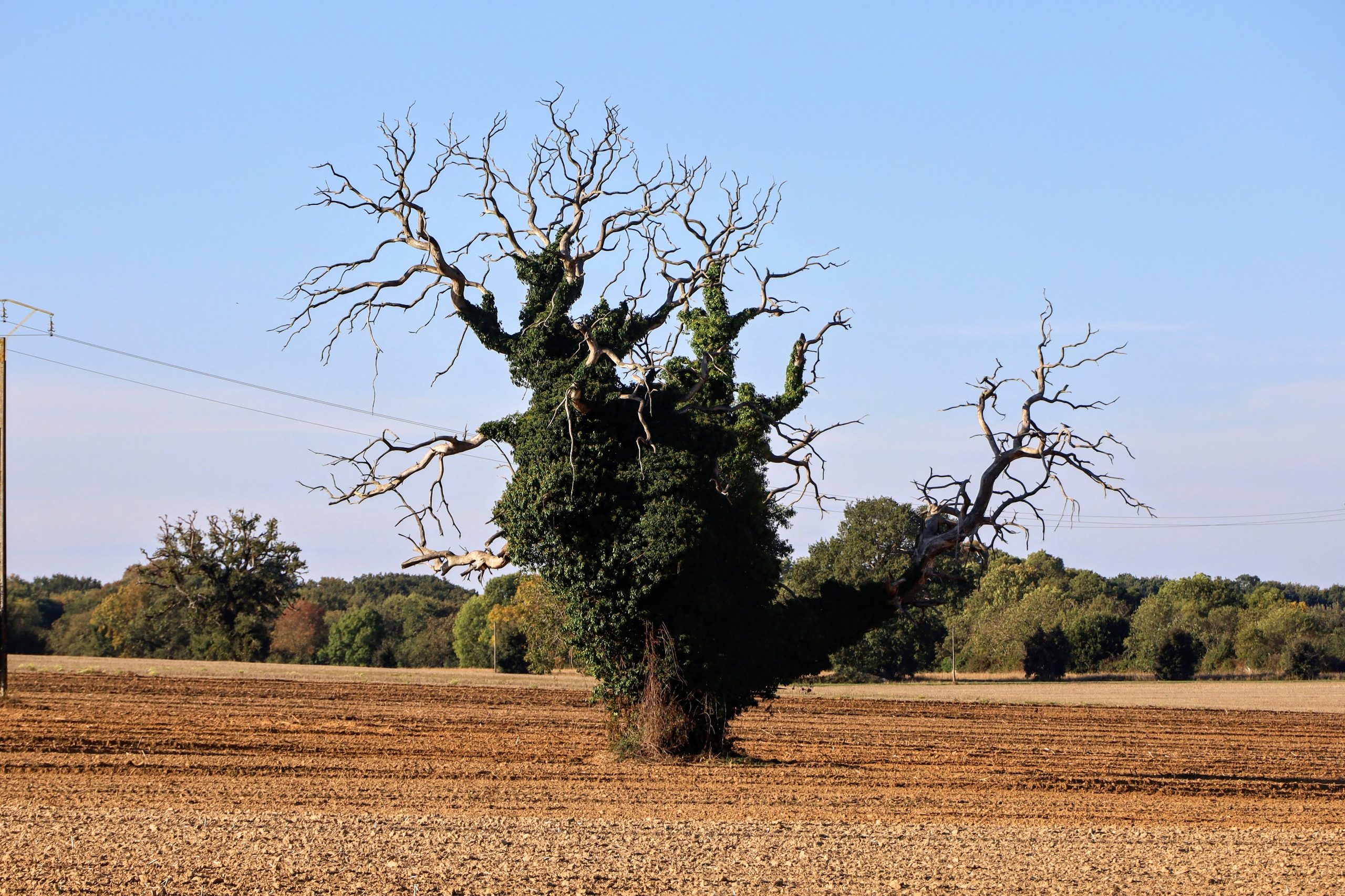
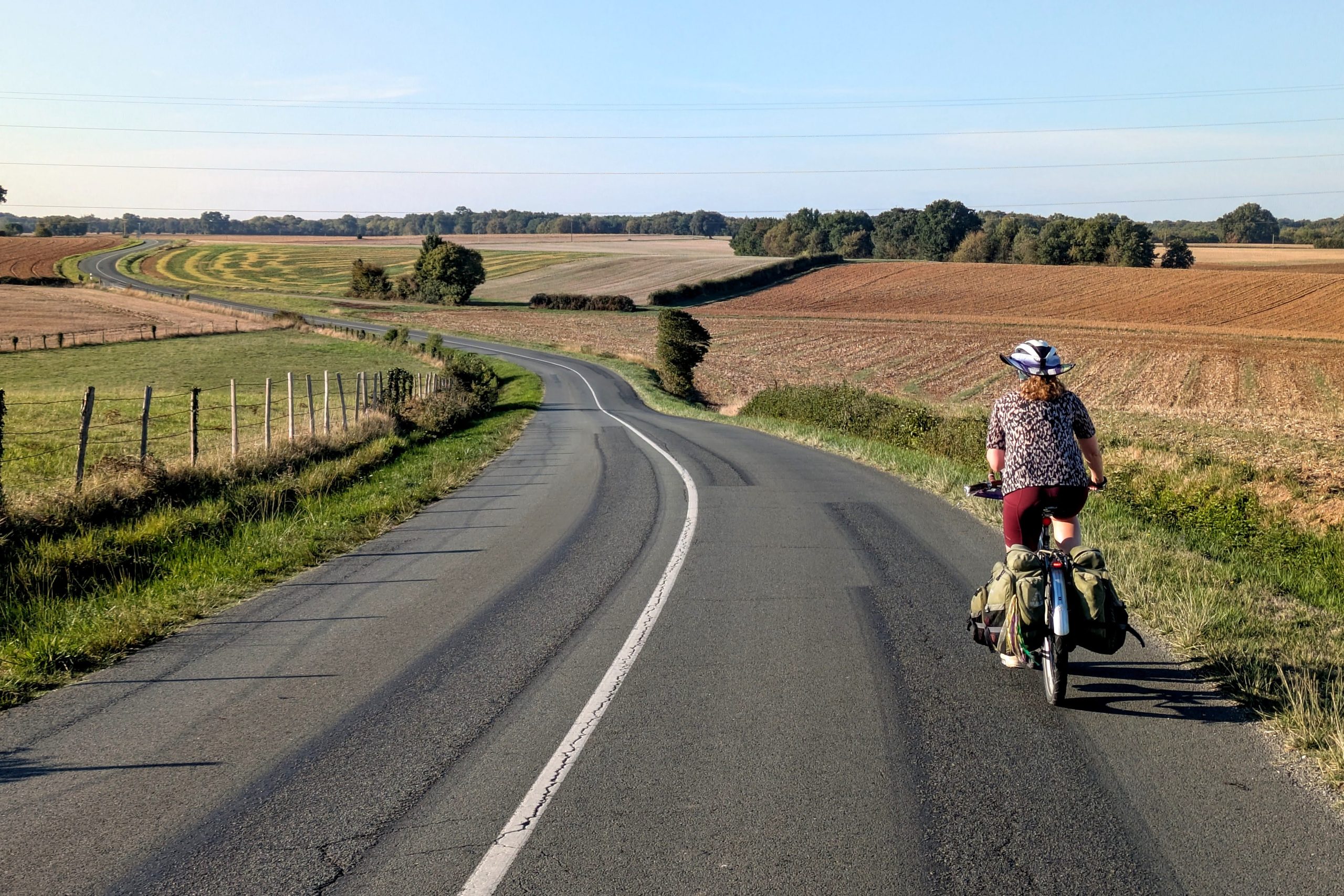
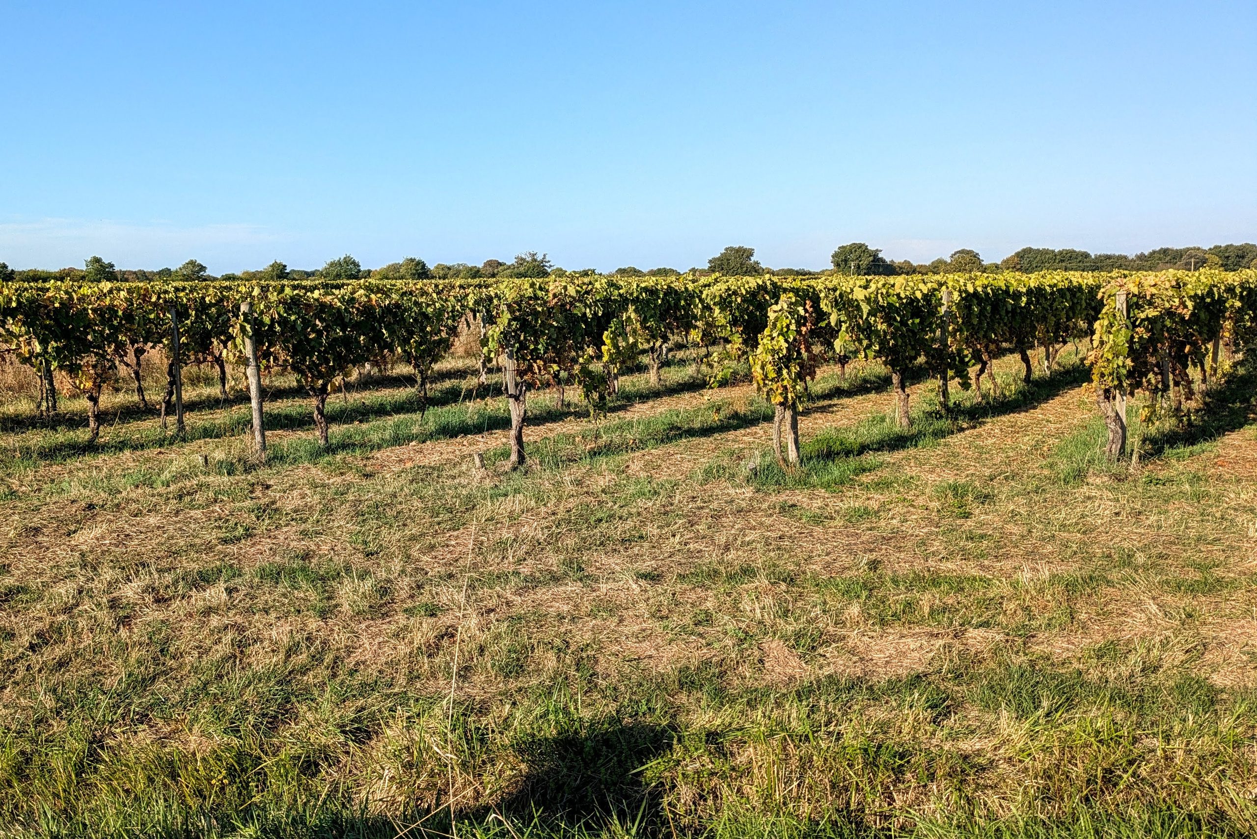
Again we had some steady crosswinds flowing across the open fields that had Rett lamenting our progress early on, but we were actually going faster than I thought we would, and at least it was cool(ish). But both of us had put some effort into finding a nice place for lunch in Royan where we could commemorate our 8th wedding anniversary, and now as the clock was ticking down to our ferry, we realized that we wouldn’t find it to be a relaxing and enjoyable celebration. Which meant that we wouldn’t really be able to do anything to mark the day. This is one of the “costs” of our lifestyle that we have to bear. For me, our success at celebrating our “nomadiversary” two weeks ago is enough to cover for today’s failure, but for Rett I think this aspect of our lives is beginning to withdraw more money from her emotional account than it used to.
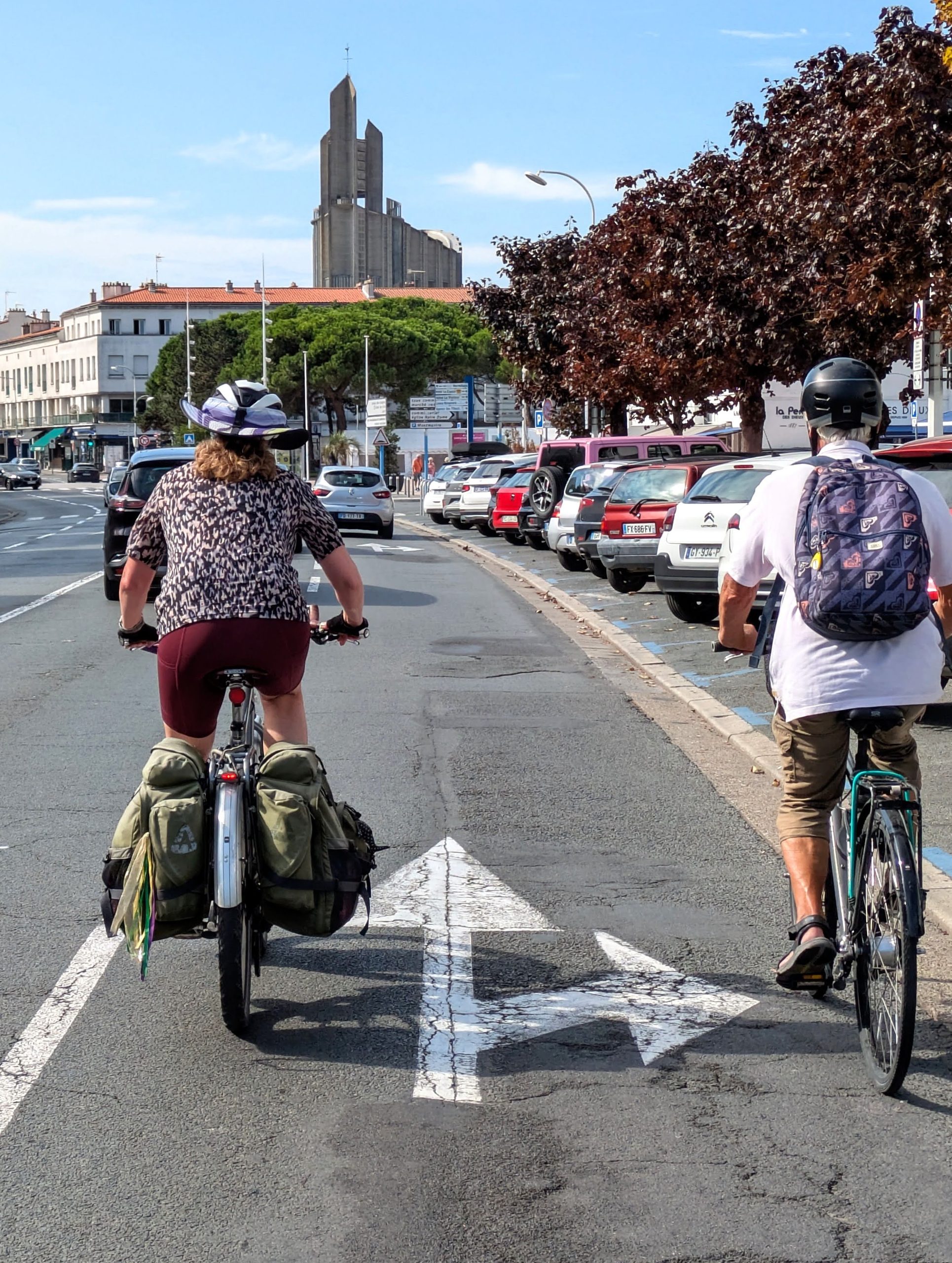
Since we swept through Royan without stopping and went directly to the ferry terminal, we then had plenty of time to wait for its arrival. But that still feels better to us than rushing as a result of seeing more. The ferry crosses the wide mouth of the Gironde that spreads out from Bordeaux, which makes it part of the EuroVelo 1 route, which might explain why it was a significant improvement above the already-easy relationship bikes have with ferries. The waiting area for bikes was clearly marked, had benches and shade, and then it led to a dedicated lane onto the boat, where we had our own entrance to our own side of the deck, completely separate from the cars! And then signs made it clear that we would exit straight off the opposite end of the ferry, again via our own path.
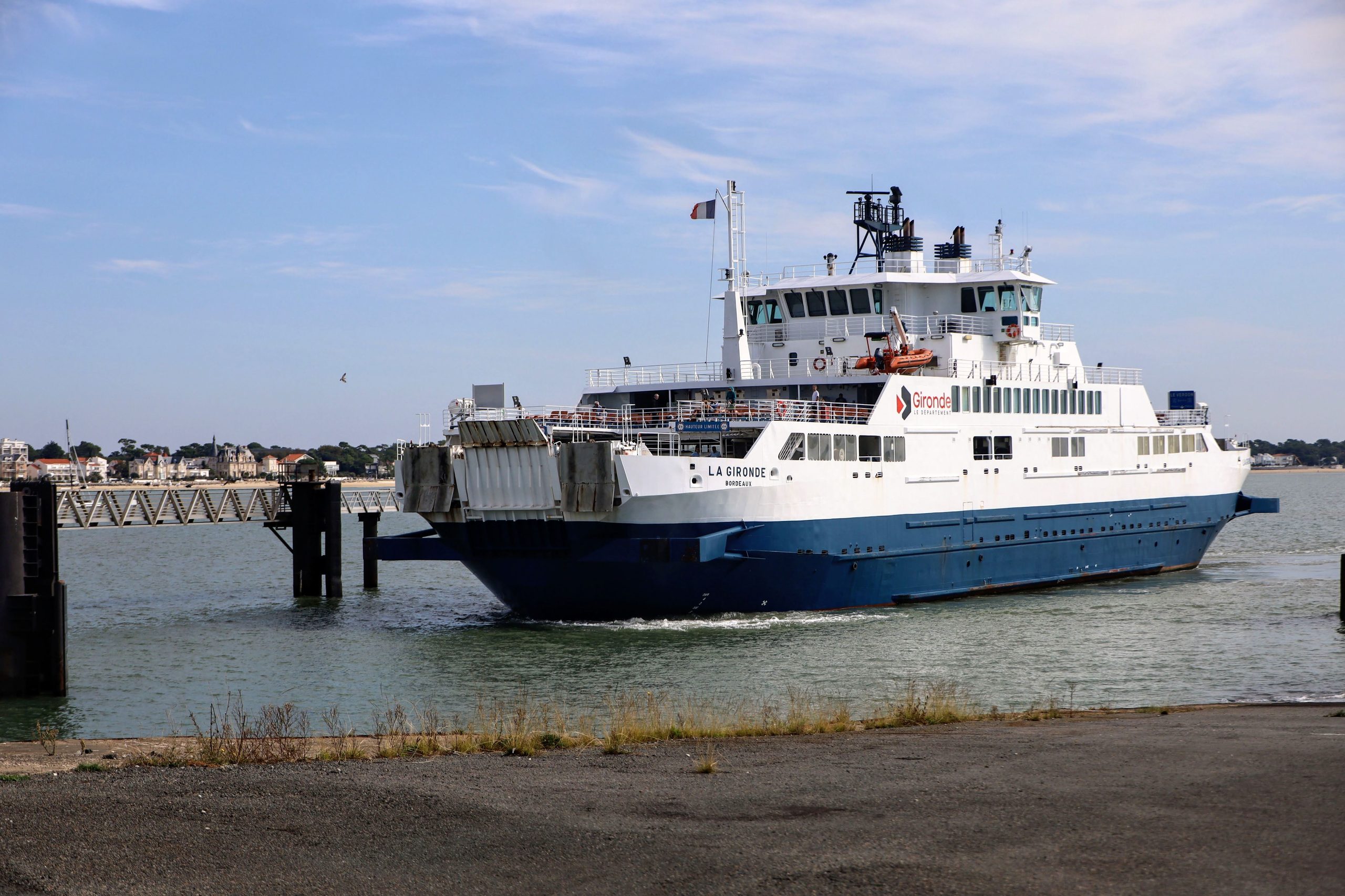
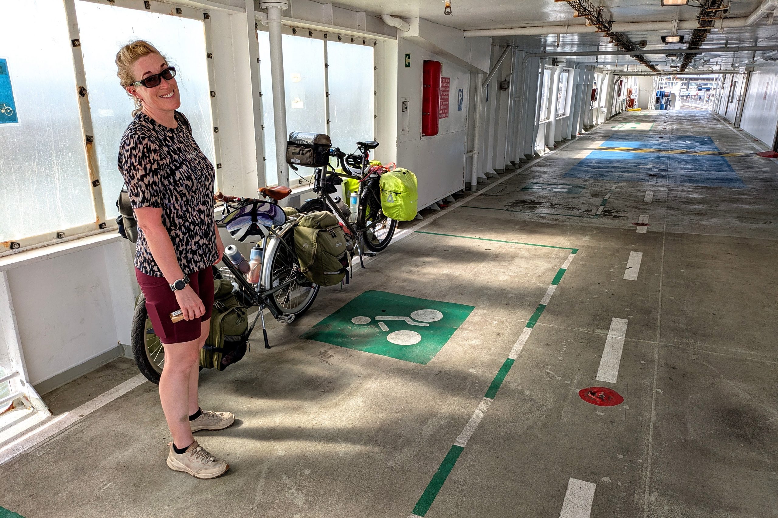
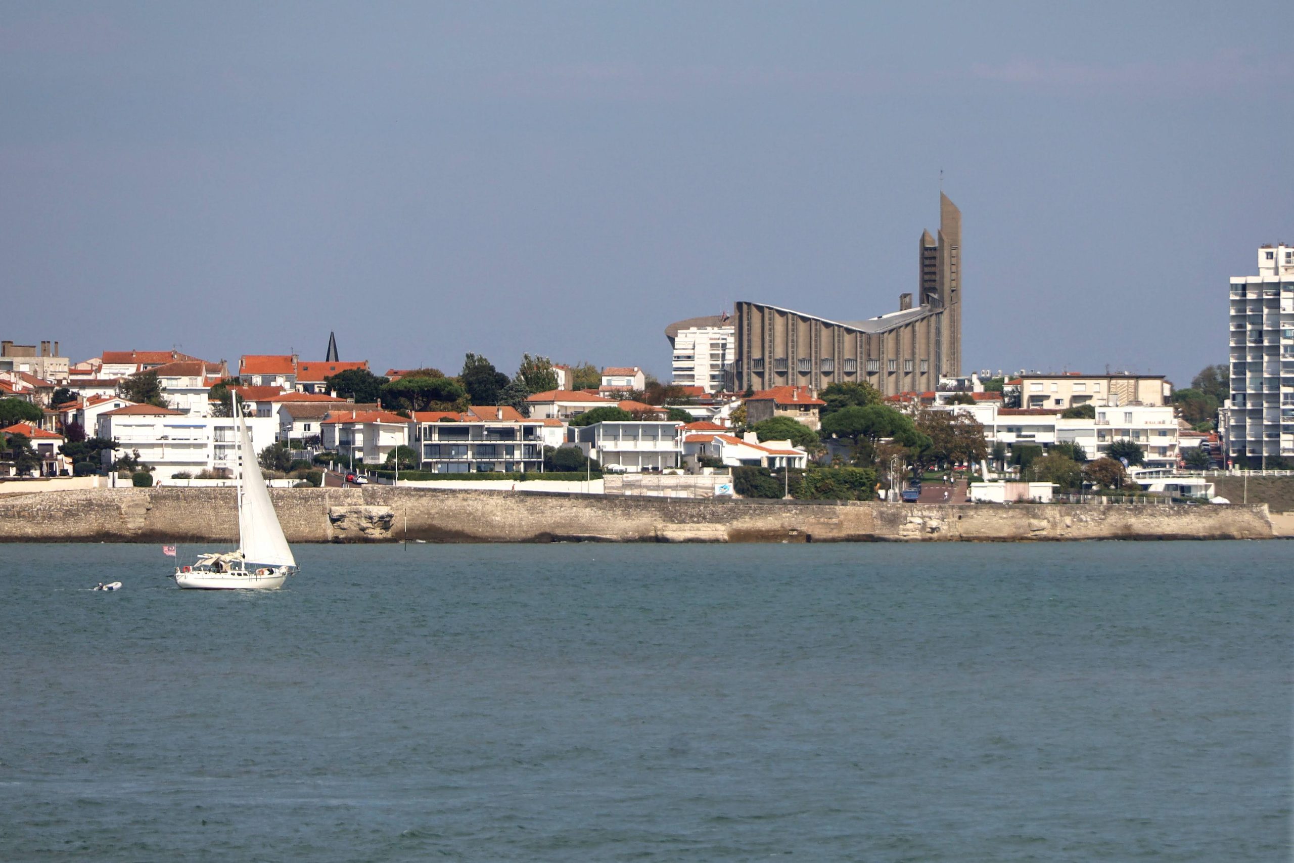
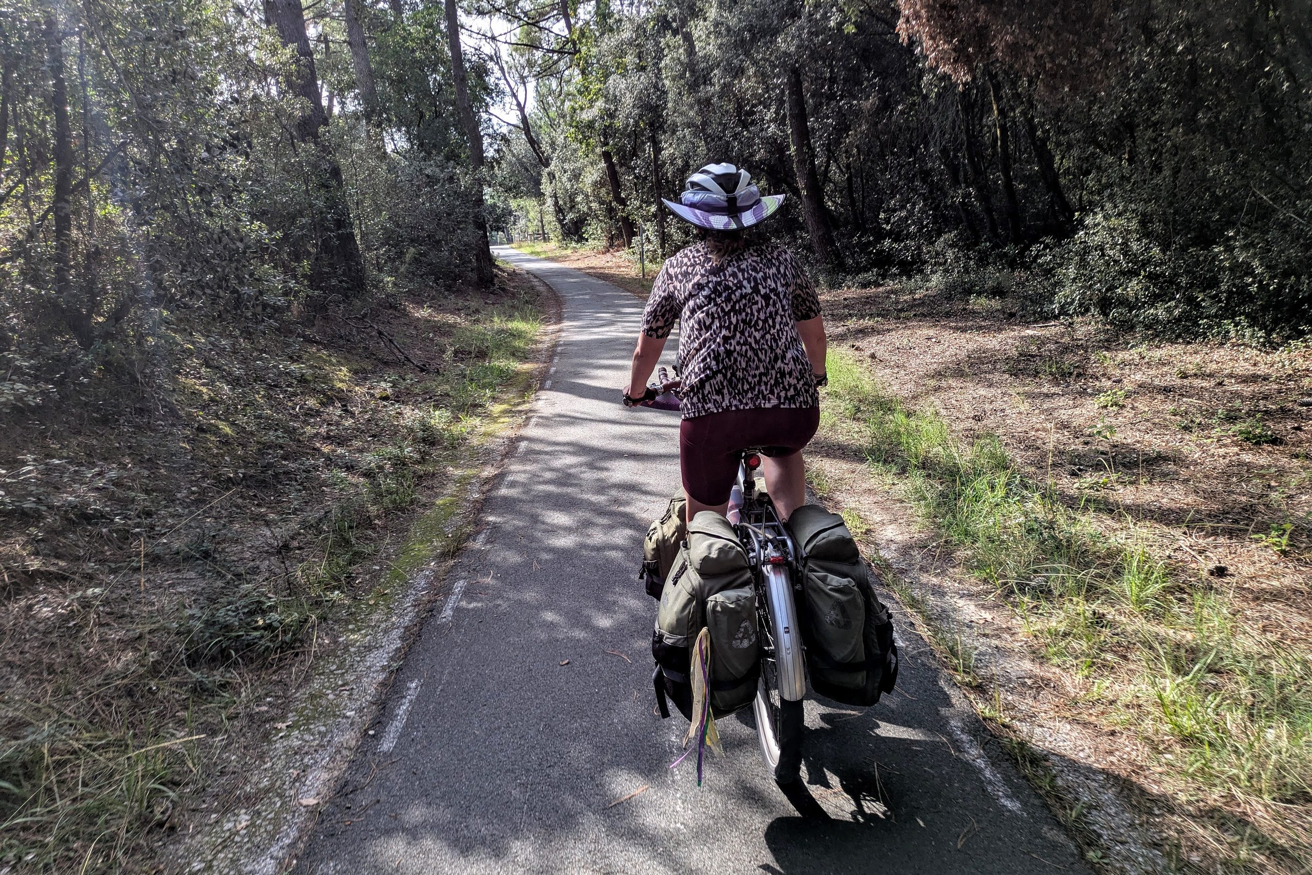
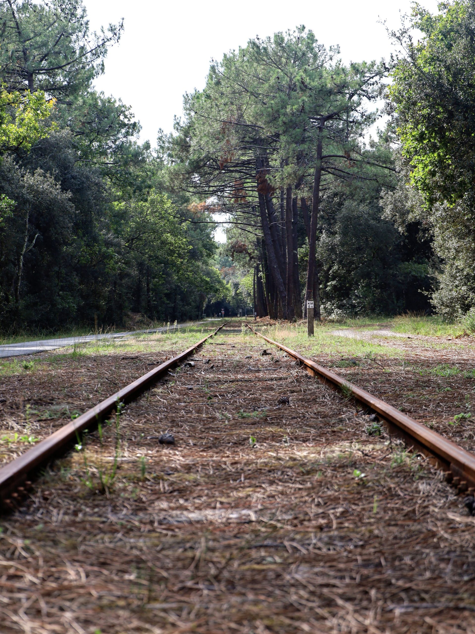
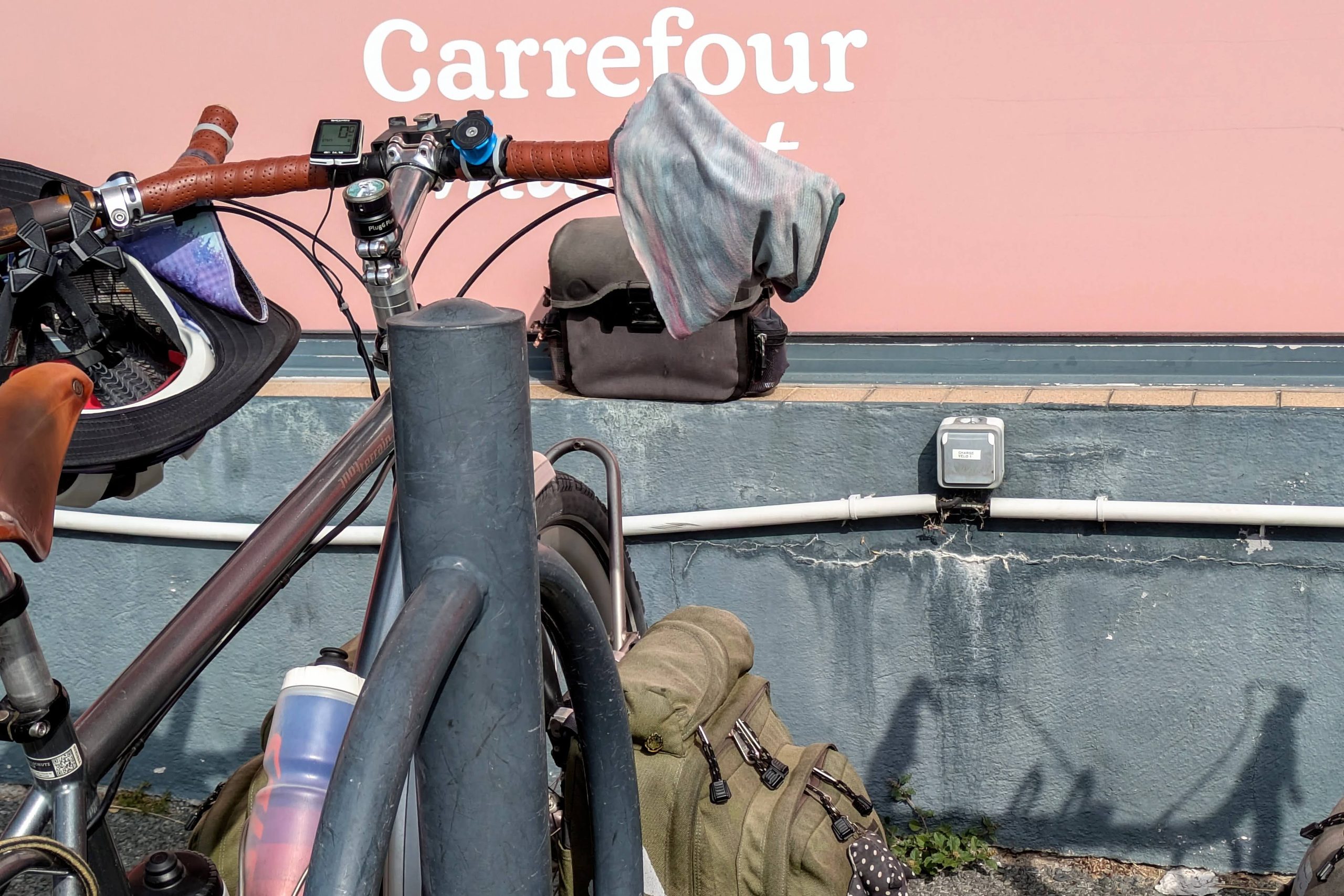
30 minutes later, we returned to land on the south side of the Gironde estuary, and found ourselves in a completely different world. It’s an unpopulated pine forest so distinct that it appears as a giant dark triangle on satellite maps of France. And down at ground level, riding the bike path felt like cruising through a large American State Park, in search of the campground contained within. Five miles brought us to the grocery store in Soulac-sur-Mer, where we had to do a big stock-up, because our AirBNB’s country forest/farm property was two miles further out of town and we’d be taking a rest day there after a solid 4-day push from Nantes.
Leave a Reply